 Korouoma Canyon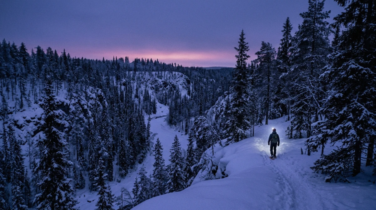
Best Time to Visit Korouoma: Ice, Light and Crowds
February and March hold the Korouoma icefalls at full height with usable light. When the ice forms, when it goes, what December gives you. Compare months.
Read guide →Honest, detailed guides to every tour we feature — what each one includes, what it costs, and what real travelers say.
February and March hold the Korouoma icefalls at full height with usable light. When the ice forms, when it goes, what December gives you. Compare months.
Read guide →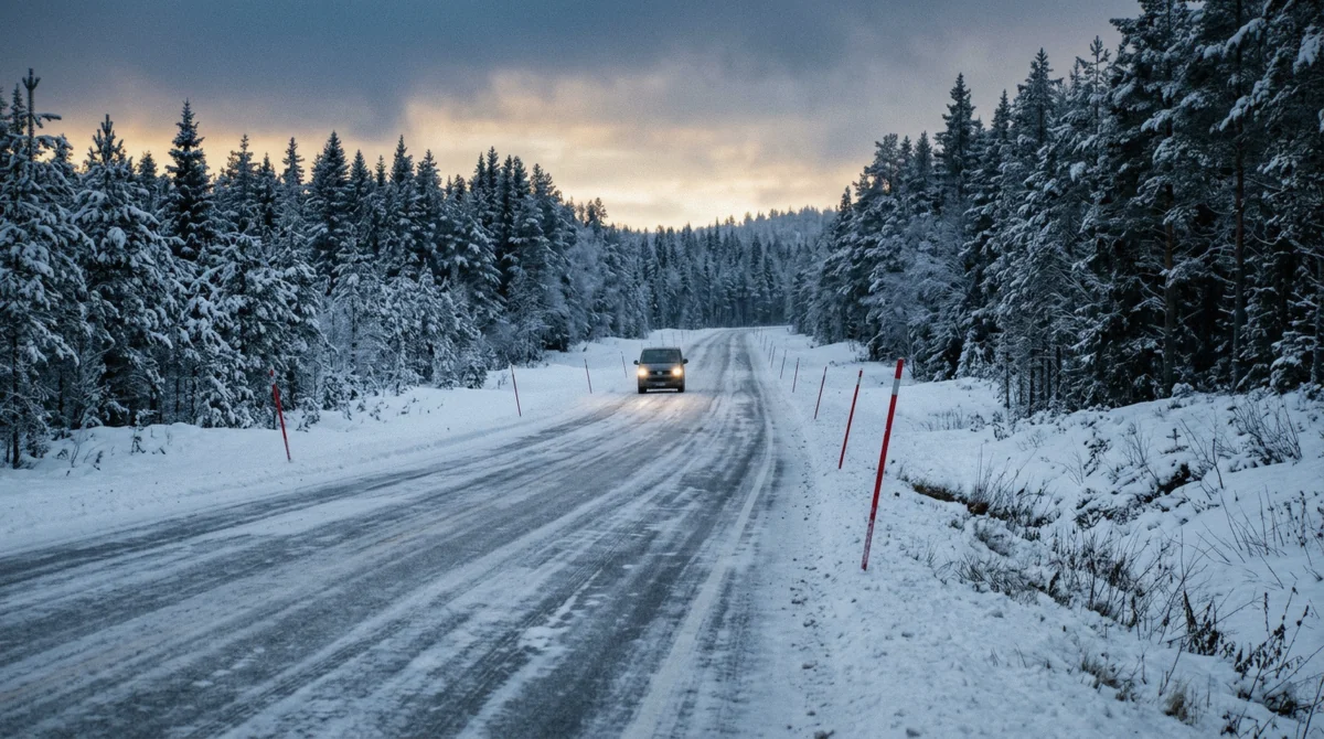
Korouoma is about 105 km south-east of Rovaniemi, 90 minutes by road. Driving, guided transfer, coach and the winter road conditions, compared.
Read guide →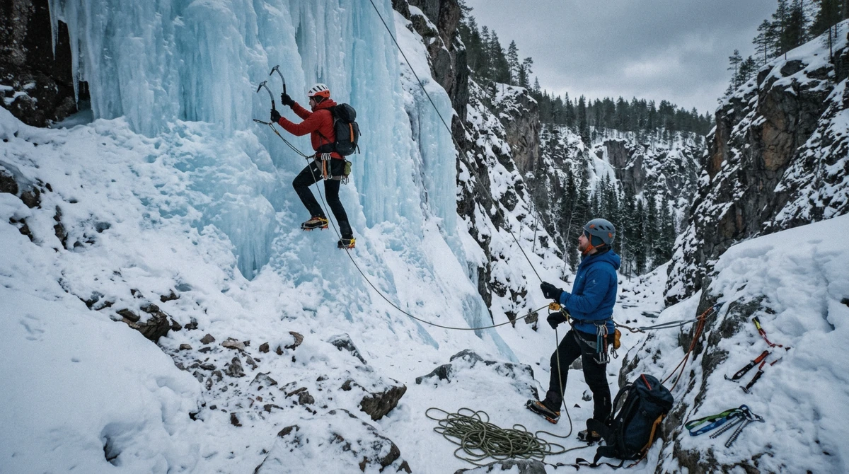
Korouoma is Finland's largest ice-climbing site: the walls, their heights, when each forms, how hikers share the canyon. See what the tours reach.
Read guide →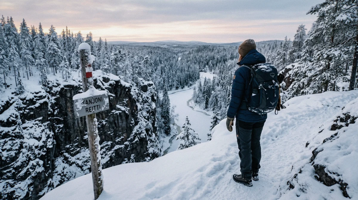
The Korouoma canyon hike is a 4.6 km loop graded Hard, walked clockwise past six icefalls. Route, descent, gear and trailhead. See when to take a guide.
Read guide →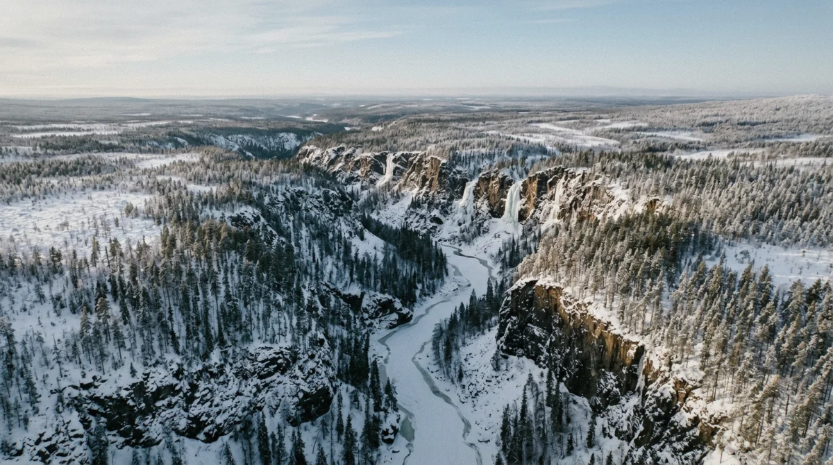
A map of the Korouoma frozen waterfalls: trailhead, canyon lean-tos, Ruskea virta, Piippukallio and six icefalls with official heights. See the loop.
Read guide →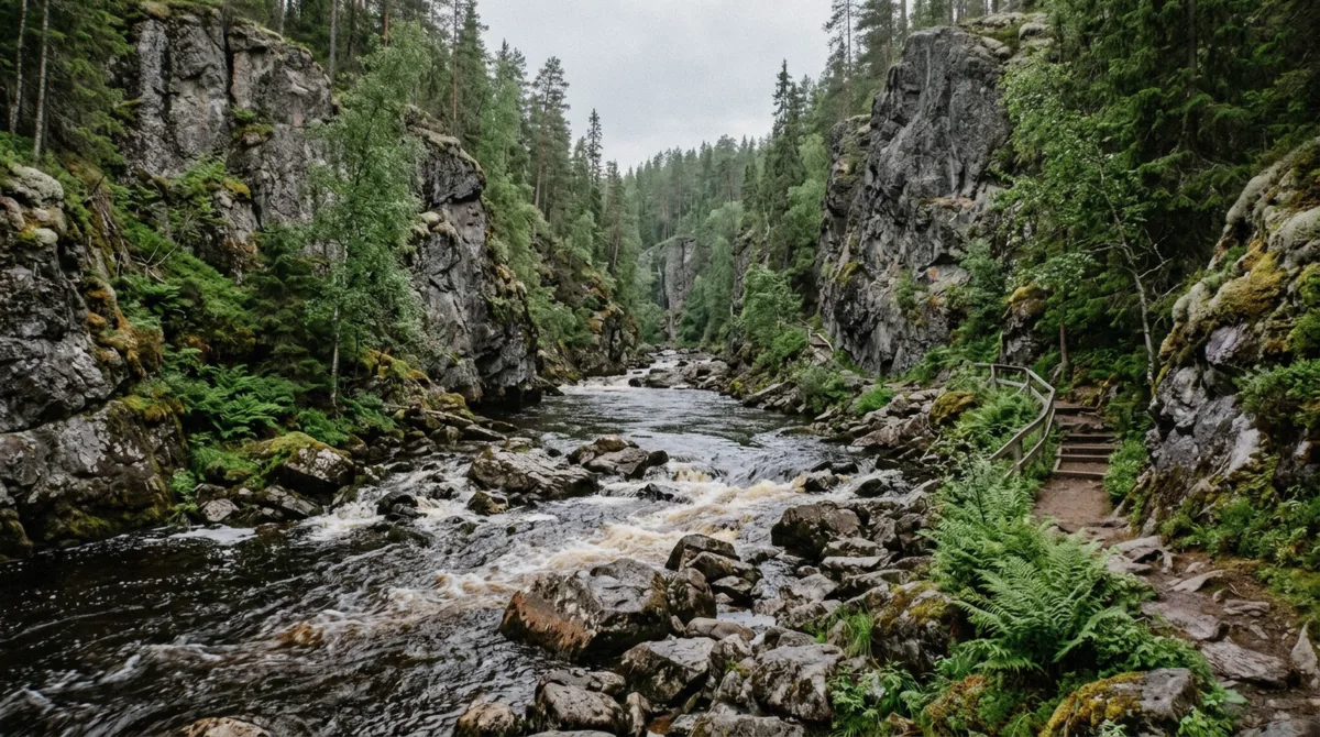
Korouoma without the ice: the 4.6 km day loop, the 17.6 km trail that opens snow-free, camping rules and ruska colours. See how the seasons compare.
Read guide →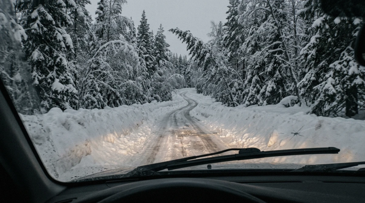
Entry to Korouoma is free and parking no longer is. What a guided seat buys against a rental car, and who should pick which. Compare the costs.
Read guide →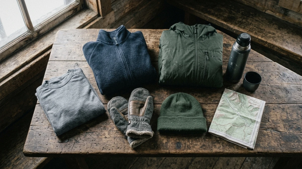
What to wear for the Korouoma frozen waterfalls: layers, boots and grips, which tours supply what, what to rent in Rovaniemi. Check before booking.
Read guide →